Map Images
Map Images
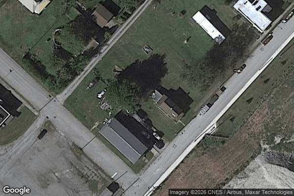
Satellite View — 40.3326°N, 79.3062°W
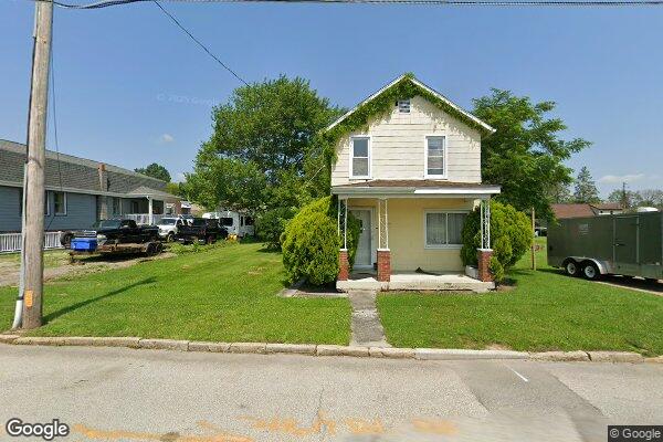
Street View — 3RD ST
| Parcel Location Reference | GPS: 40.332555, -79.306198 - DERRY BOROUGH TWP, PA |
| Owner Mailing / Tax Address | Not available |
| Parcel Address Note | No official street address is on file for this parcel. Use the parcel GPS link for navigation. Any tax or mailing address shown elsewhere belongs to the owner record and may not be the parcel location. |
| Google Maps | Open in Google Maps → |
| Parcel ID | 06-01-13-0-021 |
| Acreage | 0.21 acres |
| Municipality | DERRY BOROUGH TWP |
| Map Number | 06-01-13-0-021 |
| Municipality | DERRY BOROUGH TWP |
| Assessor Situs / Parcel Address | <span class="missing">No parcel address on file</span> |
| Property Class | RESIDENTIAL |
| Use | HOUSE-GAR-LOTS 31-32 |
| Acreage | 0.21 |
| Lot Dimensions | <span class="missing">Not found</span> |
| Land Value | $2,000 |
| Improvement Value | $2,860 |
| Total Assessed | $4,860 |
| Annual Tax (?) | $634.18 |
| Last Sale Date | <span class="missing">No sale on record</span> |
| Last Sale Price | <span class="missing">—</span> |
| Owner | SHRUM CHARLES L CONNIE D |
No docket records found in iJEMS public search for this owner.
| Source | PA UJS Portal |
| Status | iJEMS returned 0 cases; optional UJS double-check link. |
| Owner Searched | SHRUM CHARLES L CONNIE D |
| Search Link | Open in UJS Portal → |